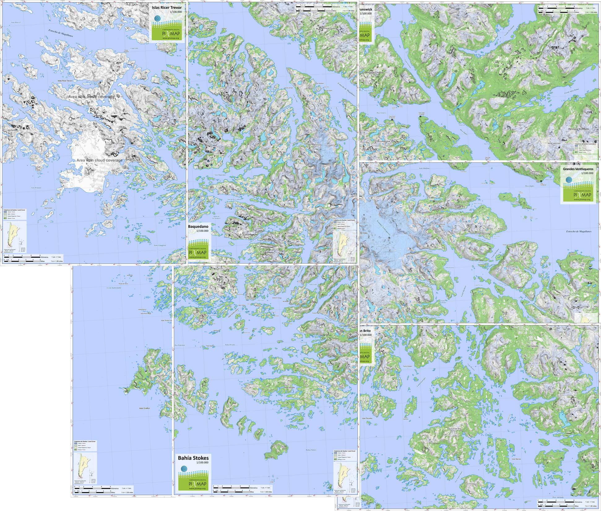
Topographic Map: Proyecto Isla Santa Inés - Magallanes
Publisher: Pixmap
Publication date: 08/05/2018
Title: Proyecto Isla Santa Inés - Magallanes
Description:
Country: Chile
Location: Región de Magallanes
Contour interval: 25 m.
Scale: 1/100.000
Canvas Size: A2 60*42 cm.
Coordinate System:
Sample image, low resolution map